Start Point

Parking Katzenkopf Leutasch (P14)

End Point

Parking Katzenkopf Leutasch (P14)

Difficulty

Easy

Total Distance

5,20 km

Descent Meters

243 m

Highest Point

1360 m

Total Time

02:00 h

Map & Elevation Profile

Start Point

Parking Katzenkopf Leutasch (P14)

End Point

Parking Katzenkopf Leutasch (P14)
Difficulty

Easy

Total Distance

5,20 km

Descent Meters

243 m

Highest Point

1360 m

Total Time

02:00 h

Hiking

Best Time

Jan

Feb

Mar

Apr

May

Jun

Jul

Aug

Sep

Oct

Nov

Dec

Hiking tour

Hut hike

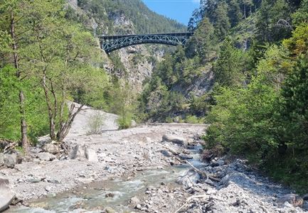
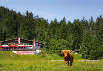
The hike begins at Parking Lot P14 "Katzenkopf" and initially follows the road to the right. After a few meters, the trail turns left into the forest. Here, the well-maintained forest path ascends gently through the woods. Step by step, you make your way through the forest until you reach the Katzenkopfhütte — a cozy hut inviting you to take a break.

For those who prefer an easier ascent, the mountain railway offers a direct route to the Katzenkopf. Additionally, the area features a bike park with various dynamic trails. Beyond the bike park, there are other attractions such as a playground for young adventurers and an exciting disc golf course with multiple holes. This versatile mountain destination offers something for hiking and biking enthusiasts, as well as families.

Features & Characteristics

Start Point

Parking Katzenkopf Leutasch (P14)
End Point

Parking Katzenkopf Leutasch (P14)
Similar Tour Suggestions

Pfarrhuegel-in-Seefeld_WaLogo.jpg

Hiking

Village tour Pfarrhügel, Wildsee & Seekirchl

Length

4,70 km

Duration

01:30 h

Uphill

48 hm

Altitude

1208 hm

Difficulty

Easy

Wettersteingebirge und Leutasch im Sommer - Drohnenaufnahme von der Muggenmoosalm.jpg

Hiking

Hike Schlagweg-Rauthgatter-Wildmoos

Length

11,50 km

Duration

03:30 h

Uphill

220 hm

Altitude

1345 hm

Difficulty

Easy

Familie in der Region Seefeld - Spielen am Fluss - Leutascher Ache.jpg

Hiking

Hike to Unterleutasch Along the Achweg

Length

9,10 km

Duration

02:30 h

Uphill

3 hm

Downhill

77 hm

Altitude

1174 hm

Difficulty

Easy

Wildmoosalm im Sommer - Hütte mit Kuh.jpg

Hiking

Hike to the Wildmoosalm alpine hut

Length

5,80 km

Duration

01:45 h

Uphill

131 hm

Altitude

1305 hm

Difficulty

Easy

Scharnitz - Wanderung zur Adlerkanzel - Blick auf die Isar.jpg

Hiking

Circular village walk Scharnitz - Gießenbach

Length

6,10 km

Duration

01:30 h

Uphill

42 hm

Altitude

1013 hm

Difficulty

Easy

Drohnenaufnahme Hämmermoosalm bei Sonnenuntergangsstimmung.jpg

Hiking

Hike to the Hämmermoosalm

Length

4,00 km

Duration

01:30 h

Uphill

175 hm

Altitude

1417 hm

Difficulty

Easy

Schlossbachklamm mit Bahnstrecke - Reith.jpg

Hiking

Hike through the Schlossbachklamm Gorge

Length

12,20 km

Duration

04:30 h

Uphill

488 hm

Downhill

482 hm

Altitude

1129 hm

Difficulty

Easy

Möserer See im Frühling - Paar läuft entlang des Seeweges.jpg

Hiking

Circular walking path from Seefeld to the lake Möserer See

Length

8,80 km

Duration

02:30 h

Uphill

231 hm

Altitude

1297 hm

Difficulty

Easy

OSZAR »